Click on image opens gallery
Landscape Documents
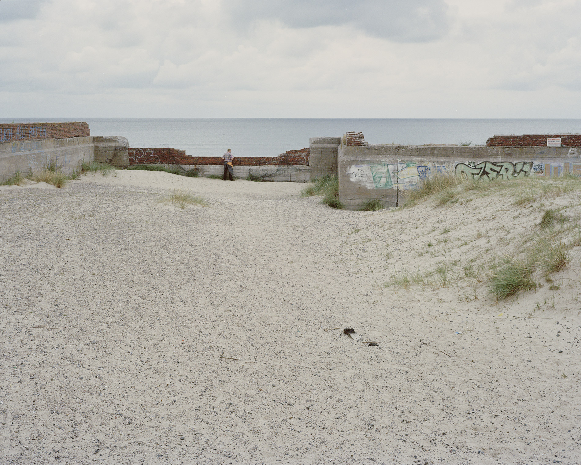
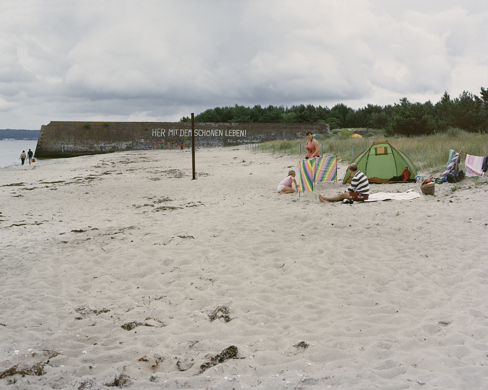
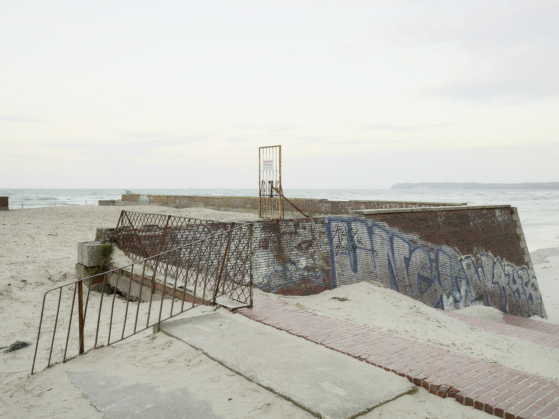
Rügen is primarily perceived as a landscape full of character on the south coast of the Baltic Sea. Behind this superficial reception, it was for centuries the sphere of influence of changing rulers and political systems. A place for incursion and defence, arrival and departure.
SIawian fortifications, traces of Danish and Swedish rule, 30-year war, National Socialist fantasies of omnipotence, nationalisation by the GDR government, reunification and development into one of Germany’s holiday strongholds left visible traces. Traces that can be read with open eyes like a book.
The layers of time visible in the Rügen landscape are the subject of the documentary inventory, the landscape documents.
Landscape Documents I
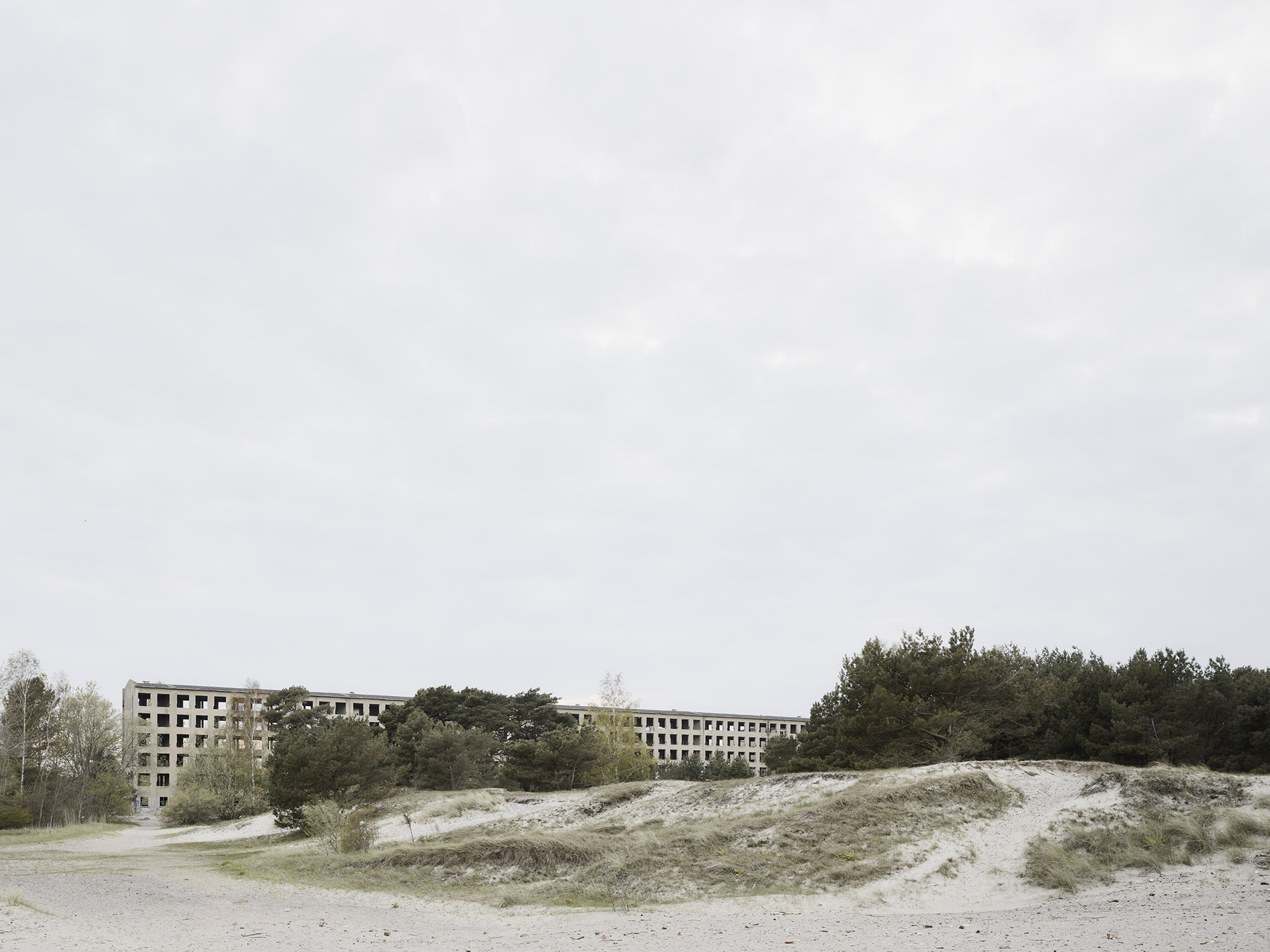
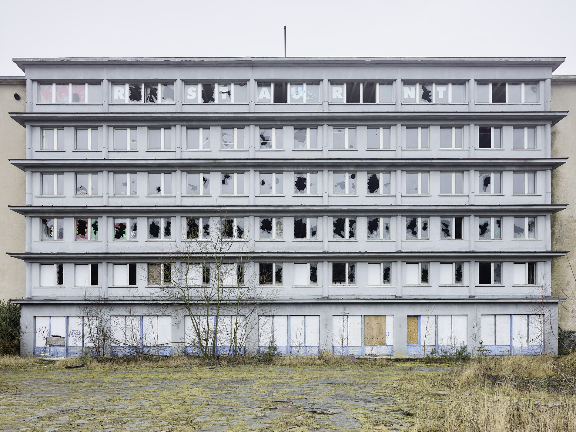
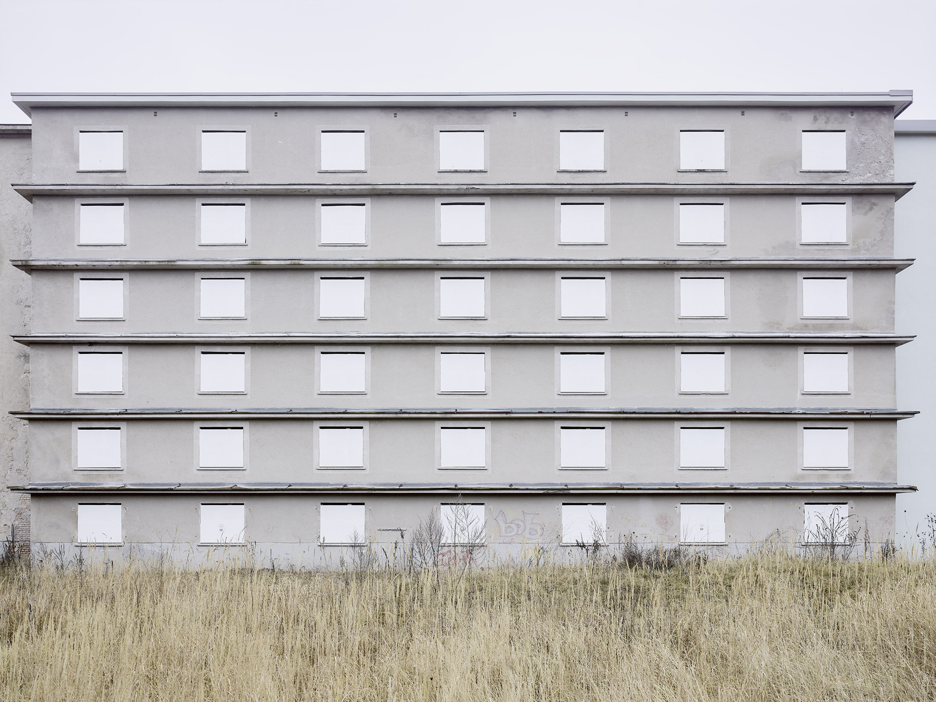
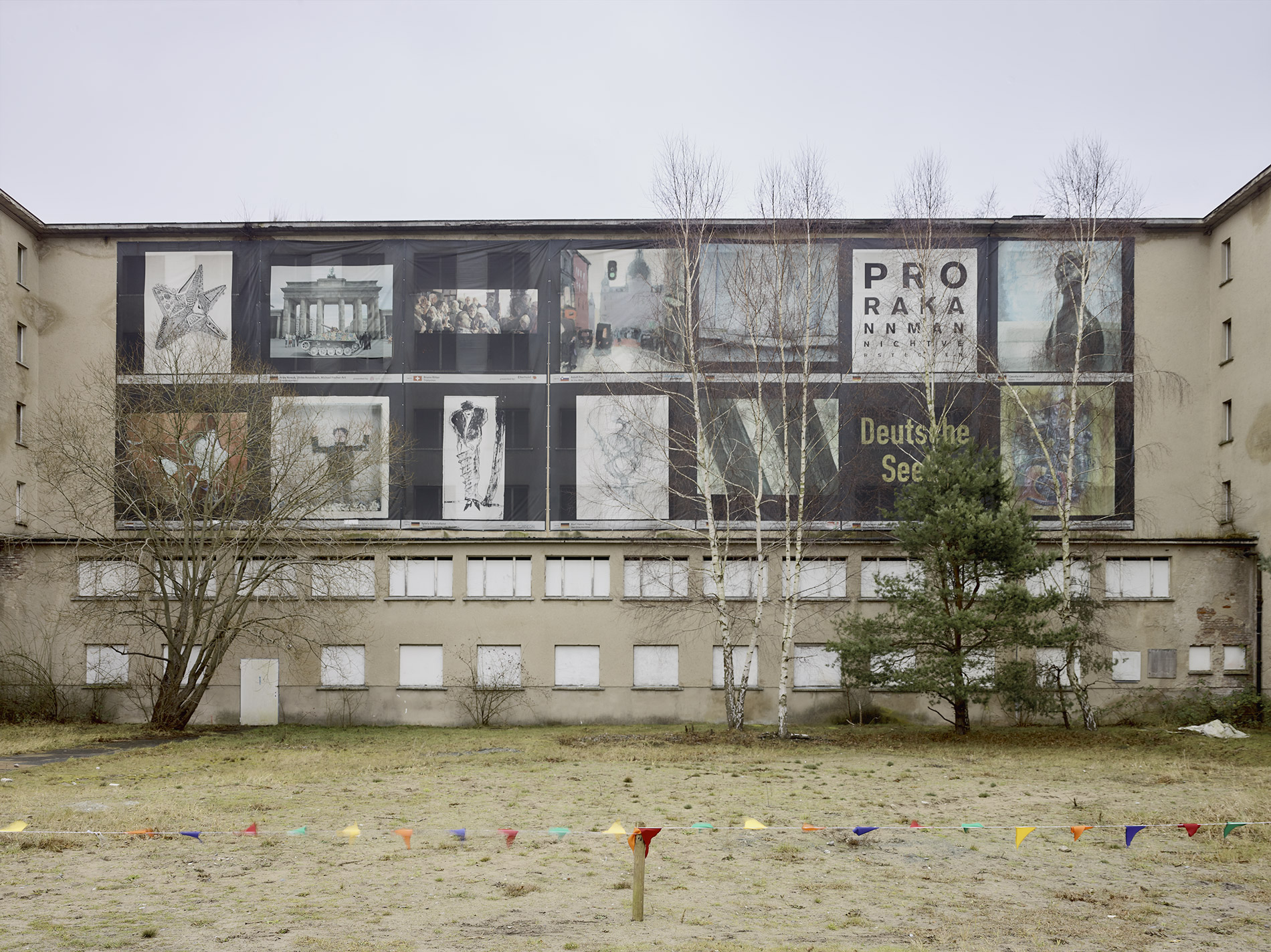
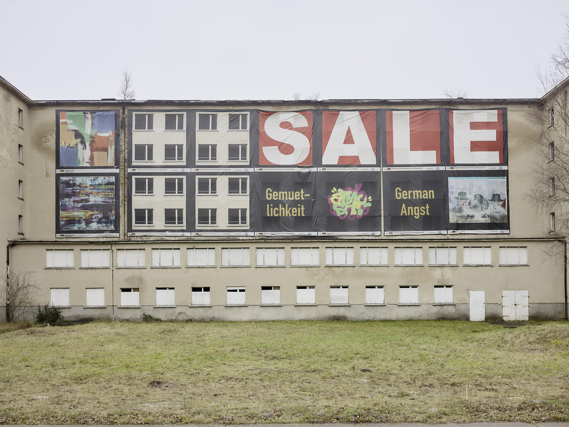
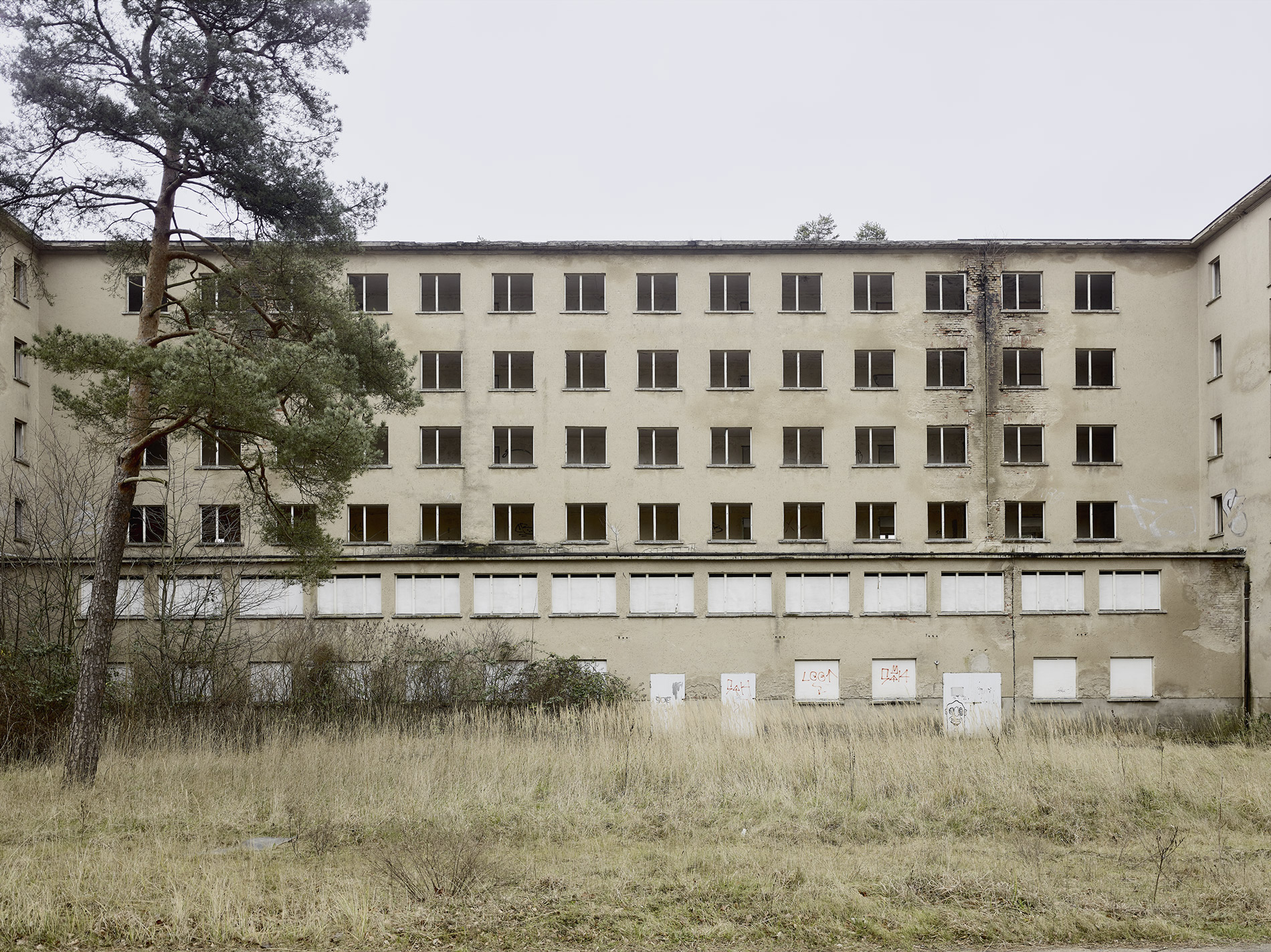
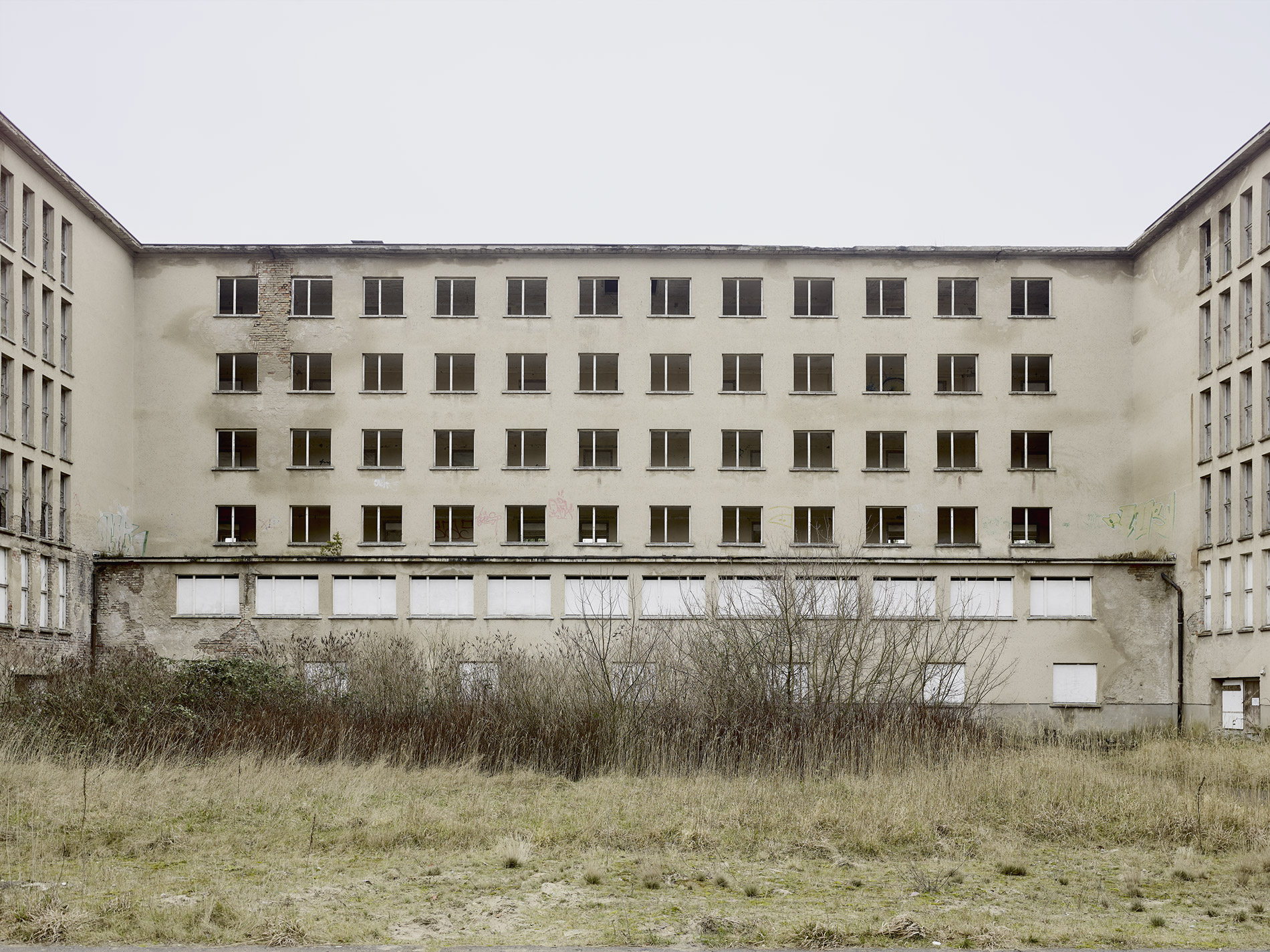
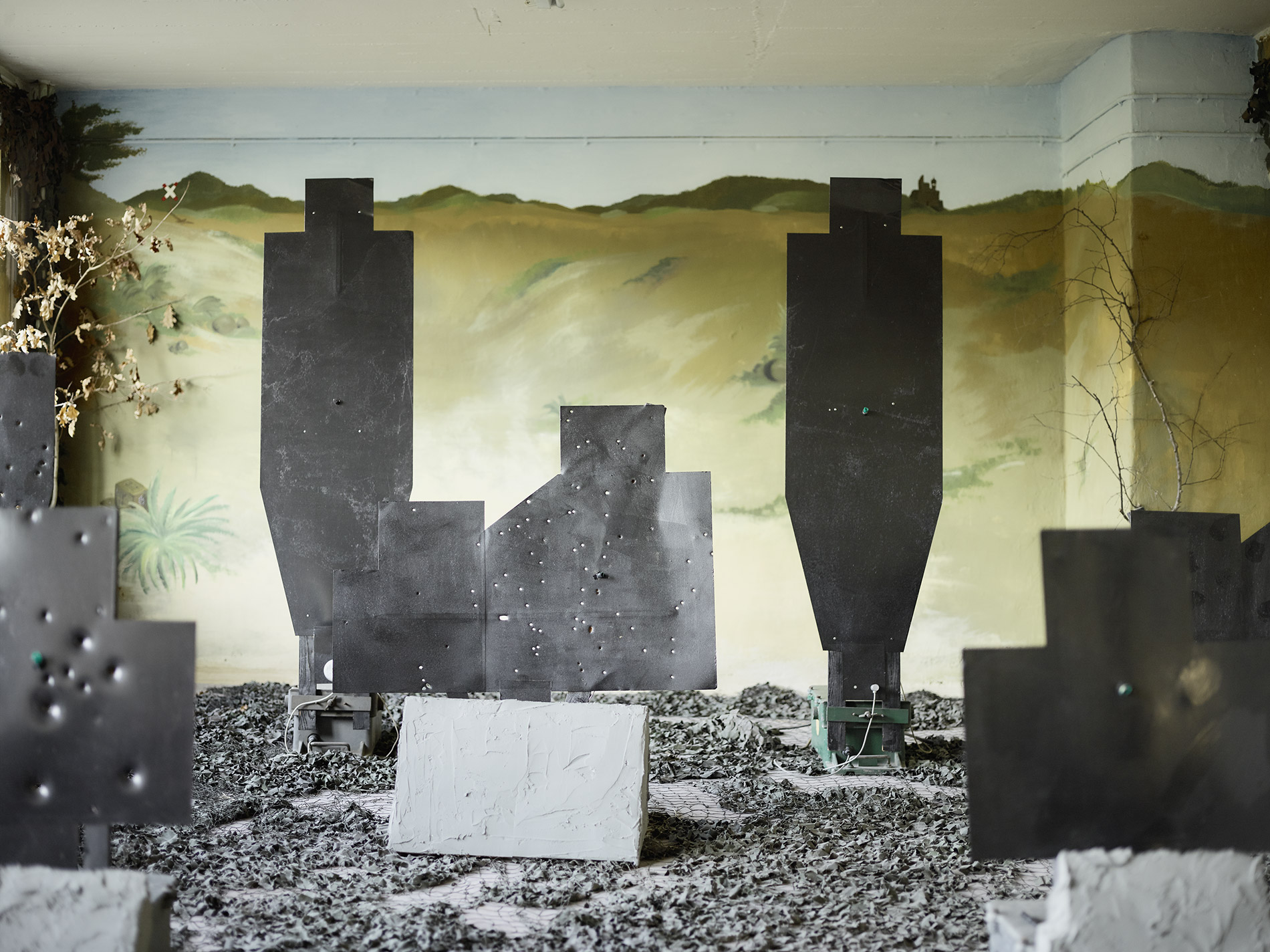
The first part deals with Prora and the landscape section between Binz and the chalk cliffs north of Sassnitz. The photographs document Prora in the period between 2010 and 2015.
Prora is a huge complex of buildings, 5 km long in its original planning, starting northwest of Binz and extending towards Mukran, the port of Sassnitz.
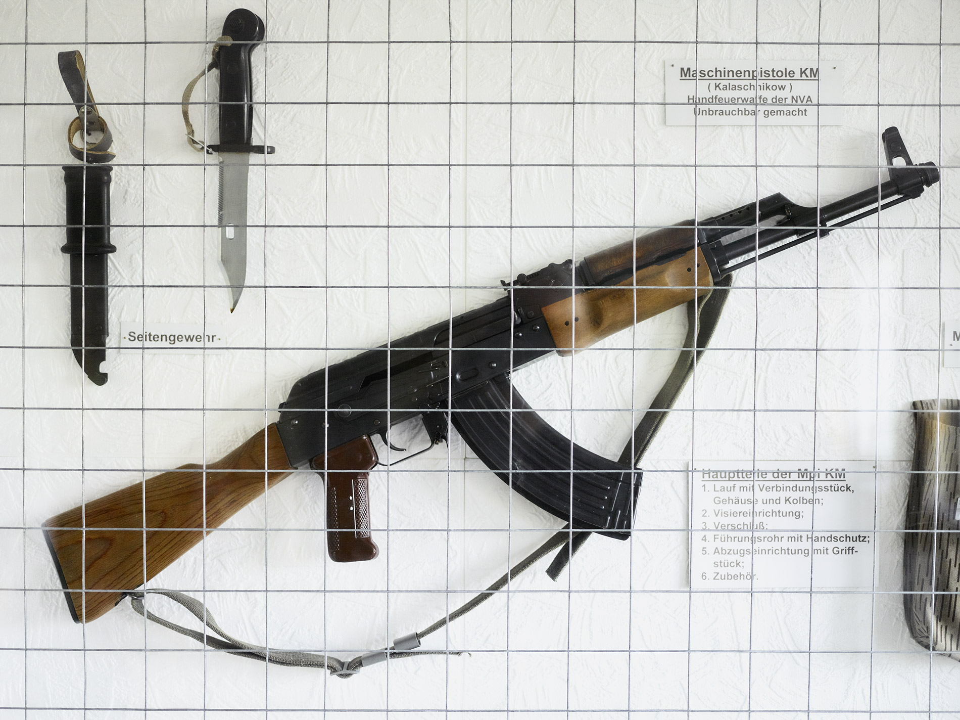
Planned by the organization KdF during the National Socialist era and built between 1936 and 1939 as a health resort for German families, Prora was never completed and experienced the end of the Second World War as a military hospital. After the end of the war, Rügen was under Soviet influence and became part of the state of Mecklenburg and the GDR. Prora’s buildings were initially used by the Red Army. They also served as accommodation for the barracked Volkspolizei or later NVA. After the reunification of Germany, the buildings were taken over by the German Armed Forces and from 1992 by the Federal Property Administration.
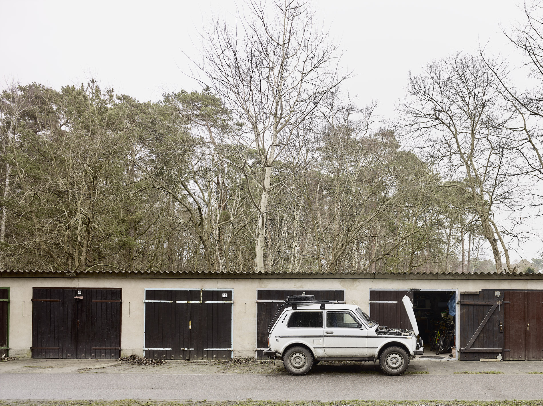
For 25 years, ideas and concepts for further use failed until, from 2016, the sections of the building that had been sold mainly to private companies were converted into holiday apartments and thus returned to their original purpose.